Lac de Pincemaille
we find at Rillé the "Lac de Pincemaille " a section of the "Lac des Mousseux".
History
|
- July 1498: the name Placename Pincemaille was yet in use as we know from a "document de rémission":
"Paris.: Lettres de rémission (kwijtschelding) pour
Louis de Verdigné, écuyer, demeurant à Souzay (1), en
Touraine,prisonnier à Tours, pour homicide commis il y a
trois ans à Pincemailles
(2)sur la personne de Guillaume Haudin, faux-saulnier.
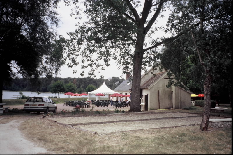
(Fol. 40, n° 78). Juillet 1498 - Around 1800 there was not a "lac", but only small rivers and water mills situated left of Rillé. Beside one of this water mills stood a house "Pincemaille". It will give later on the name at the first "Lac". On the contrary we find a moor at the right sight of Rillé, which delivered the water for this mills at the left side. - 19th century: the situation was unchanged.. - Actual situation around 1977: After 1900 a first dike not far and left from Rillé was constructed and a "lac" came just above the house and the water mill of Pincemaille. So the lac was named "Lac de Pincemaille". In the land registry we found that the moor became dry and this land was named "Pincemaille" and "Petit Pincemaille". Then a second dike further on the Lathan, the "Barrage des Mousseux", was constructed in 1977 and a second "lac" was formed. The whole water surface took now officially the name "Lac des Mousseux". Nevertheless we will find on maps names as "Lac de Pincemaille", "Lac de Rillé" and "Lac des Mousseux". -The first socalled "Lac de Pincemaille" is now used for recreation and the second part for bird observation. |
|
Around 1800 |
|
|
 |
|
On the Cassini-map (1760-1789) one find left of Rillé small rivers and a house "Pincemaille" with a water mill on the Lathan. |
The water for this water mills came from the moor right of Rillé |
1900 Cent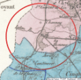 |
|
|
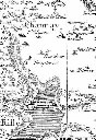
On this 19 century map we see clearly how at right of Rillé we have the moors, who will disapear.. At the left site we see " the Latan" streaming down, where will come the new lacs and where yet the watermills of the 1800 Cassini map existed . |
|
|
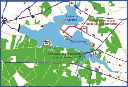
Actual situation around 1977 |
|
|
 |
|
Actually we have there the "lac de pincemaille" enlarged to the "lac des Mousseaux". |
Actually we find there in the Land registry "Pincemaille" and "Petit Pincemaille" |